Ancient Egypt Maps
These maps of ancient Egypt seek to highlight representative aspects of the country: historical development, locations of major constructions, Egypt as we know it today and the always important River Nile, that contributed to the growth of the ancient Egyptian civilization.
Here's a map of ancient Egypt with all major cities, pyramids and temples:
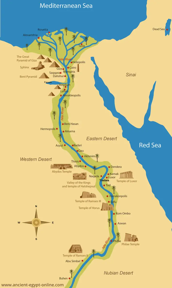
Map of Ancient Egypt
Here's an interactive map of Egypt (modern Egypt). Use the + and - signs to zoom in or out. At the bottom you can choose between map, satellite or terrain. You can move the map by dragging with your mouse.
| Location: | Northern Africa. Egypt borders the Mediterranean Sea in the north, Israel in the east, Sudan in the south and Libya in the west. |
| Area: | Total: 1,001,450 sq km (slightly more than three times the size of New Mexico) Land: 995,450 sq km Water: 6,000 sq km |
| Climate: | Desert: hot, dry summers with moderate winters |
| Elevation: | Lowest point: Qattara Depression -133 m Highest point: Mount Catherine 2,629 m |
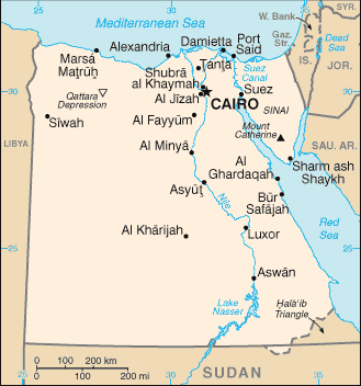
A map of modern Egypt
Here's a map of Egypt around 1450 BC:
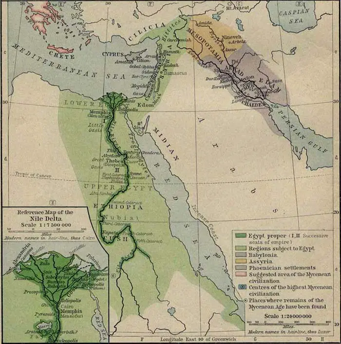
Map of Egypt about 1450 BC
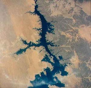
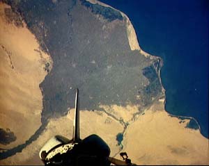
An aerial view of the Nile and the Nile Delta:
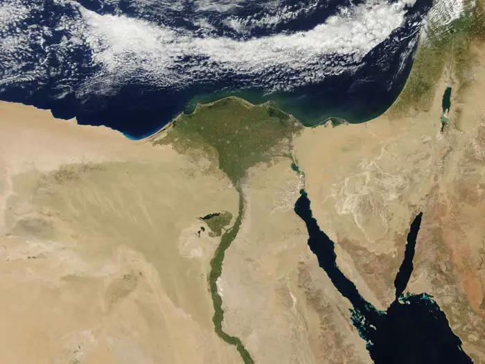
© NASA - Satellite view of the Nile River